Manual infrastructure inspection doesn’t scale. Whether it’s 21,000 kilometers of national roads or post-conflict regions contaminated with landmines, the bottleneck is the same: humans can’t be everywhere, and sending them into high-risk environments with clipboards is slow, expensive, and dangerous. In our GreenBee project with Lithuania’s national road authority, shifting to AI-powered aerial reconnaissance reduced inspection-related CO2 emissions by 90%. In our work with Broswarm on autonomous landmine detection, AI object detection identified threats made from metal, plastic, and rubber across four terrain types – winning first place in a NATO Innovation Challenge. The technology isn’t theoretical. Here’s what it actually takes to deploy.
Key Takeaways:
AI-powered aerial inspection reduced road monitoring CO2 emissions by 90% across 21,000+ km of Lithuanian national roads
AI object detection identifies buried threats through 0.5 meters of soil – including plastic-cased explosives invisible to metal detectors
EU road networks span ~5 million km, requiring an estimated 93.7 million inspection kilometers and 37,500 tons of CO2 annually under traditional methods
Honest limitation: AI aerial inspection works best as reconnaissance – it identifies where ground teams need to go, not as a complete replacement for human experts
The Manual Inspection Bottleneck
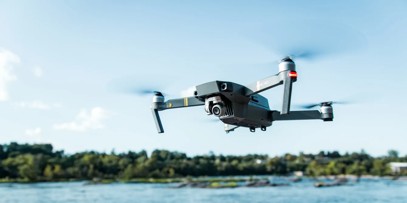
For decades, inspecting a bridge, a power line, or a road surface meant sending a person into a high-risk environment. Even with standard drones, the result is often thousands of hours of video that someone has to manually review. A drone without AI is a flying camera – it collects data faster, but the analysis bottleneck remains human.
This creates three compounding problems:
The data deluge
1,000 hours of aerial footage is useless if it takes 1,000 hours to watch. Without automated analysis, drones simply move the bottleneck from data collection to data interpretation.
The environmental cost
Traditional road inspection across the EU requires driving an estimated 93.7 million kilometers annually, committing 3.1 million man-hours and emitting approximately 37,500 tons of CO2. That’s the environmental cost of doing inspection the old way, at scale.
The detection gap
In demining operations, traditional handheld metal detectors miss plastic-cased explosives entirely. That “detection gap” costs lives. Similar blind spots exist in road and bridge inspection, where surface cracks visible to cameras hide subsurface structural issues that require different sensor modalities.
The real shift isn’t from “manual” to “drone.” It’s from “data collection” to “automated intelligence” – where the AI processes what the sensors capture, identifies the problems, and tells ground teams exactly where to go.
What AI-Powered Aerial Inspection Actually Does
AI aerial inspection combines multiple sensor types with computer vision and machine learning to automate the analysis of infrastructure data. The value isn’t in the drone itself – it’s in the intelligence layer that processes what the drone captures.
In practice, this means three capabilities working together:
Optical analysis. High-resolution cameras capture imagery of roads, structures, power lines, or terrain. Computer vision models trained on specific defect types – cracks, corrosion, vegetation encroachment, surface deformations – automatically identify and classify issues from visual data. This is the most mature application and works well for surface-visible defects.
Radar and subsurface sensing. For threats invisible to cameras – buried objects, subsurface structural weaknesses – specialized sensors like synthetic aperture radar (SAR) penetrate the ground and produce 3D volumetric data. AI models then analyze this data layer by layer, identifying objects by shape, material density, and signal characteristics. In our work with Broswarm’s autonomous landmine detection platform, this approach identified threats made from metal, plastic, and rubber at depths up to 0.5 meters across four terrain types.
Multi-sensor fusion. The most effective deployments combine optical and radar data. Surface scans catch visible issues. Subsurface analysis catches hidden ones. By fusing both data streams, the system covers threats that either sensor alone would miss.
The Reconnaissance-First Strategy
The most practical approach to large-scale inspection isn’t “replace all human inspectors with drones.” It’s using aerial AI as reconnaissance – scanning vast areas to pinpoint exactly where ground teams need to go.
The reconnaissance-first model flips the economics of inspection. Instead of ground teams driving every kilometer looking for problems, UAVs rapidly cover the full network and AI flags the locations that actually need attention. Ground teams then operate with precision – responding to verified issues rather than conducting speculative patrols.
This is how the GreenBee project worked in practice. AB Keliu prieziura, Lithuania’s national road maintenance authority, is responsible for 21,000+ kilometers of roads. Traditional inspection meant manned vehicles driving the entire network repeatedly – consuming time, fuel, and personnel. By deploying UAVs for initial aerial scanning and using AI to identify potential defects, they achieved a fundamentally different workflow: broad aerial coverage first, targeted ground response second.
The result was a 90% reduction in inspection-related CO2 emissions and a 90% improvement in operational efficiency.
Real-World Deployments: What the Numbers Show
Two deployments illustrate what AI aerial inspection delivers in practice – one focused on infrastructure sustainability, the other on human safety.
| Factor | GreenBee – Road Inspection | Broswarm – Landmine Detection |
|---|---|---|
| Domain | National road infrastructure | Defense and humanitarian demining |
| Scale | 21,000+ km of roads | Multi-terrain contaminated regions |
| Sensor type | High-resolution optical cameras | X-SAR radar + optical cameras |
| AI capability | Surface defect detection, prioritization | 3D subsurface object identification |
| Key result | 90% CO2 reduction | NATO 1st Place |
| Materials detected | Surface cracks, deformations, wear | Metal, plastic, rubber, composites |
| Human safety impact | Reduced inspector road exposure | Removed operators from explosive proximity |
The GreenBee project demonstrated that AI aerial inspection isn’t just faster – it’s environmentally transformative. The EU road network stretches approximately 5 million kilometers. Under traditional methods, maintaining that network requires an estimated 93.7 million inspection kilometers and 3.1 million man-hours annually. Deploying UAVs with AI analysis cuts those emissions by 90%.
The Broswarm deployment proved something different: that AI can close detection gaps that existing technology cannot. Traditional metal detectors miss plastic-cased explosives entirely. Broswarm’s platform, using the world’s lightest synthetic aperture radar combined with our AI object detection models, identifies threats regardless of material – across sand, soil, vegetation, and gravel. The NATO Innovation Challenge recognition validated the approach against competing solutions from across the alliance.
Manual vs. AI-Powered Inspection: A Direct Comparison
The practical differences between traditional and AI-augmented inspection go beyond speed. They change the fundamental economics, safety profile, and environmental footprint of infrastructure monitoring.
| Factor | Traditional manual inspection | AI-powered aerial inspection |
|---|---|---|
| Coverage speed | Days to weeks per area | Hours to days per equivalent area |
| Data type | Human observation, photos, notes | 3D radar + high-resolution optical + GPS |
| Inspector safety | High risk | Remote / autonomous |
| Accuracy | Subjective, prone to fatigue | Objective, consistent across conditions |
| Environmental impact | High CO2 (manned vehicles) | 90% CO2 reduction |
| Subsurface detection | Metal only (detectors) | Metal, plastic, rubber, composites |
What AI Aerial Inspection Can’t Do
AI-powered aerial inspection is a reconnaissance and detection tool, not a replacement for engineering judgment. Understanding these boundaries matters for realistic deployment planning.
We build these systems, so here’s what we tell clients upfront:
AI identifies where problems exist. It doesn’t determine structural load-bearing capacity, make repair-or-replace decisions, or certify that infrastructure meets regulatory standards. Those judgments require human engineers with domain expertise.
Weather and flight restrictions. Drones can’t fly in all conditions. High winds, heavy rain, fog, and regulatory airspace restrictions limit when and where aerial inspection can operate. Seasonal coverage gaps are real, particularly in northern climates.
Training data dependency. AI models detect what they’ve been trained to detect. A model trained on road surface cracks won’t identify corrosion on a bridge beam. Each new inspection domain requires a dedicated training dataset – defect examples, annotation, validation. Building that dataset takes weeks of expert time and domain collaboration.
False positives and false negatives. In high-stakes applications like demining, both failure modes matter. A false positive wastes clearance resources. A false negative leaves a threat in the ground. Current AI models perform well but are not infallible – which is why the reconnaissance-first approach pairs AI detection with human confirmation.
Regulatory complexity. Drone operations in most jurisdictions require permits, flight plans, and compliance with aviation regulations. Cross-border operations add further complexity. For nationwide infrastructure programs, regulatory navigation is a project in itself.
Where AI Aerial Inspection Has the Highest Impact
Not every inspection task benefits equally from aerial AI. The highest-value applications share common characteristics: large geographic coverage, high cost or risk for human inspectors, and well-defined defect types that AI can be trained to detect.
Roads and highways
Surface crack detection, pothole identification, road marking condition assessment. Ideal for the reconnaissance-first model – UAVs cover hundreds of kilometers daily, flagging sections for targeted ground repair.
Power lines and energy infrastructure
Vegetation encroachment detection, insulator damage identification, tower structural assessment. Eliminates the need for line crews working at height for routine inspections.
Defense and humanitarian demining
Subsurface threat detection across contaminated regions. Multi-sensor fusion (radar + optical) identifies explosive threats regardless of material composition, fundamentally changing the safety profile of clearance operations.
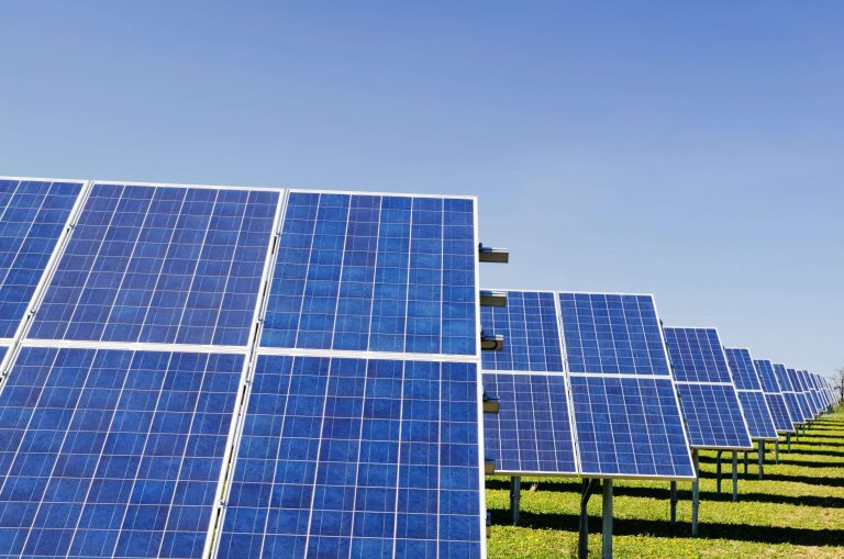
Solar and wind farms
Panel condition monitoring, turbine blade inspection, thermal anomaly detection. These installations cover large areas with repetitive structures – ideal for automated visual analysis.
Implementation: What to Expect
Deploying AI aerial inspection follows a pattern similar to any computer vision project – the AI is only as good as the training data and the operational workflow around it.
Start with the defect taxonomy. Before training any model, you need domain experts to define exactly what constitutes a defect in your context. A road crack that requires repair in one jurisdiction might be acceptable in another. A surface anomaly on a solar panel might be cosmetic or performance-critical. This classification work can’t be automated – it requires people who know the infrastructure.
Training data is the investment. For the Broswarm deployment, we used synthetic data augmentation to expand limited real-world explosive samples into robust training datasets. For road inspection, existing historical imagery can accelerate model training. Either way, expect weeks of annotation work before models reach production-grade accuracy.
Pilot before scaling. Start with a defined geographic area and a specific defect type. Validate detection accuracy against human expert review. Measure the time and cost savings against baseline manual inspection. The GreenBee project followed exactly this approach – proving the model on Lithuania’s network before considering broader EU replication.
Build the feedback loop. AI models improve with use. Every confirmed detection strengthens the model. Every false positive that gets corrected refines its accuracy. The operational process needs to capture this feedback systematically – which means integration with maintenance management systems, not standalone reports.
The Scale Argument
The strongest case for AI aerial inspection isn’t efficiency on a single project. It’s the impossibility of traditional methods at scale.
The EU road network spans approximately 5 million kilometers. Millions of landmines remain buried in post-conflict regions worldwide. Hundreds of thousands of kilometers of power lines cross terrain that’s difficult and dangerous to access on foot. At these scales, traditional inspection isn’t just expensive – it’s practically infeasible to maintain consistent quality and frequency.
AI-powered aerial inspection doesn’t eliminate the need for human expertise. It extends how far that expertise can reach. A team of five inspectors reviewing AI-flagged imagery can cover the same ground that would take fifty driving every kilometer. That’s not a technology pitch. That’s arithmetic.
At Agmis, we develop the computer vision and AI object detection models that make aerial data actionable. If you’re managing large-scale infrastructure and exploring how AI can fit into your inspection workflow, we’re happy to walk through what we’ve learned from real deployments.
Frequently Asked Questions
Reach out with questions about software development, process automation, or AI-powered solutions - no commitment required.
Drop us a message, send an email, or find our contact details on the page. We'll get back to you promptly to discuss your goals and outline the most effective next steps.